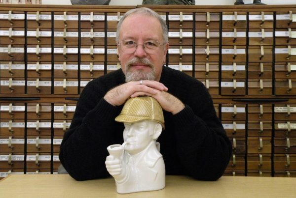
Marguerite Ragnow, Curator of the James Ford Bell Library.
From Google Maps to those fold-out road maps that only dad seems to be able to refold, Americans have used maps to get from point A to point B for more than a century. Early  maps of America are not as straightforward. In fact, sometimes they deliberately misled. This short course will examine the earliest maps of America, the context in which they were produced, and how they were used.
Participants in this course will learn the real history behind the publicity and hype, see the actual maps, and be encouraged to draw their own conclusions about what maps can and cannot tell us about America’s early history.
Held at the Bell Library, a premier repository of rare books, maps, and manuscripts, this course offers participants the opportunity to examine and discuss rare maps of America firsthand, as well as to gain insight into how the country was mapped and how maps were used in the pre-modern world. Marguerite Ragnow, curator of the collection, will provide context for each of the maps through informal lecture and presentation.
Course dates and time: Nov. 11, 18, 25, Dec. 2, from 7-9 pm
Please use these links to get more information or to register for the class.


