
By Adria Carpenter
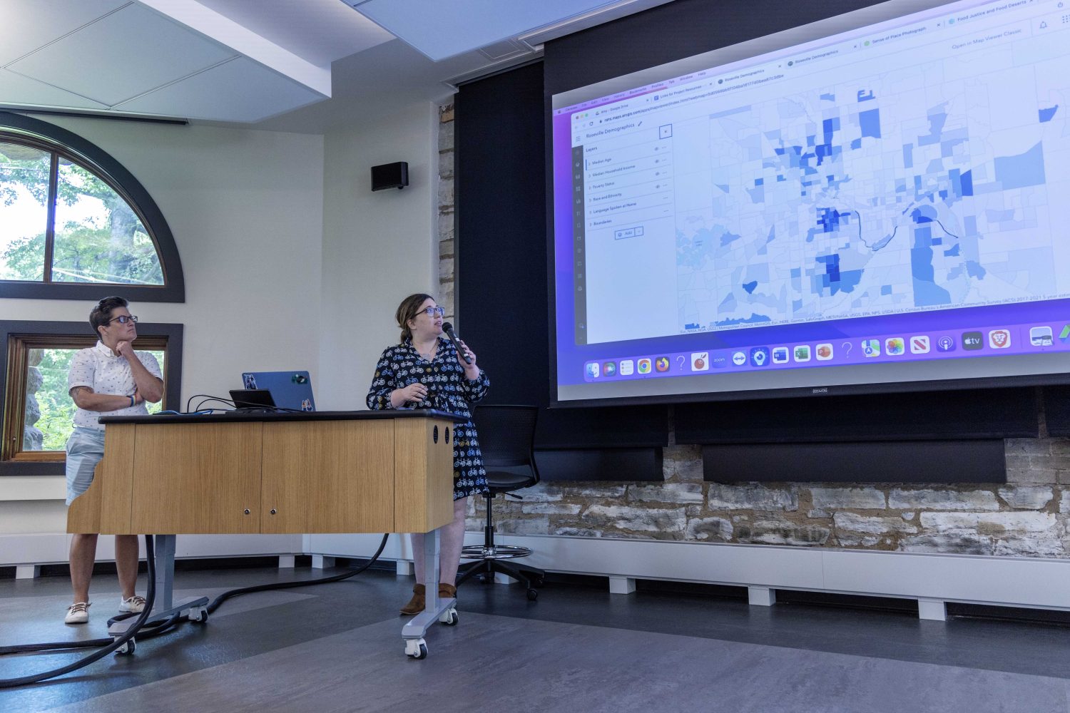
Dani Larson (left) and Amy Weigel (right), both AP human geography and world studies teachers at Roseville Area High School, talk about their projects on food deserts and creating a sense of place, on Thursday. Aug. 17, 2023. (Photo/Adria Carpenter)
With the Borchert Map Library’s first summer teacher fellowship, the University of Minnesota Libraries is building an inclusion network of educators from across the Twin Cities metro area.
“Just knowing I have continuous support from the U now is amazing!!” said Stephanie McCleerey, an AP human geography teacher. “If I get stuck looking for a particular map or data set, I can just send an email. And that’s gonna be a lot better than random Googling.”
McCleerey has taught at Saint Paul Central High School for the past 15 years, but there’s never been enough time to rework lesson plans or create new projects. And it’s even rarer to collaborate with other AP human geography teachers. At her school, there’s only two, including her, and they often don’t have time to work together.
But with this summer fellowship, she’s finally been able to meet other like-minded educators, complete new projects, and explore the Map Library.
“I’d heard there was this fabulous map place, but I’d never seen it. So I questioned whether it actually existed, but it does,” she laughed. “Thanks for this opportunity. Thanks for coming up with this idea of bringing teachers together.”
The three-month long fellowship connected teachers with Libraries resources, helping them navigate technologies like ArcGIS Online, a mapping and analysis software, and ArcGIS StoryMaps, a tool for displaying online maps and adding context — and help integrate those geographic information systems into their classrooms.
Five teachers participated in the inaugural fellowship, meeting virtually and in-person throughout the summer. All their materials, learning objects, and lessons will be openly shared online for other educators, said Ryan Mattke, the Map and Geospatial Information Librarian and Head of the Map Library.
Ryan Mattke, the map and geospatial information librarian, talks about the Borchert Map Library Teacher Fellowship, on Thursday. Aug. 17, 2023. (Photo/Adria Carpenter)
Remapping Rondo
McCleerey’s class participated in the Remap Rondo Project, a StoryMap created by Jim Hanson. The virtual map documents the Rondo neighborhood prior to its demolition by government officials to build Interstate 94 in the 1950s and ‘60s. Students remapped each building in the neighborhood into 2D and 3D renderings.
“There’s homes, businesses, schools, churches. So they really did learn the extent of what buildings came out,” she said.
Stephanie McCleerey, an AP human geography teacher at Saint Paul Central High School, shares her project about remapping the Rondo neighborhood, on Thursday. Aug. 17, 2023. (Photo/Adria Carpenter)
Students wanted to know more about the impact of I-94 on the neighborhood, asking if it was a food desert, how it impacted the religion of the community, where did residents migrate to, and so on.
McCleerey also brought in guest speakers, including former residents of Rondo, members of the ReConnect Rondo nonprofit, and encouraged them to read the book, “Voices of Rondo: Oral Histories of Saint Paul’s Historic Black Community.”
Map literacy, bias, and perspective
Kari Rise, an IB Geography, human geography, and criminal justice teacher at Highland Park Senior High School, and Elizabeth Blyakher, a Spanish immersion human geography and world history teacher, created a map literacy project for their students.
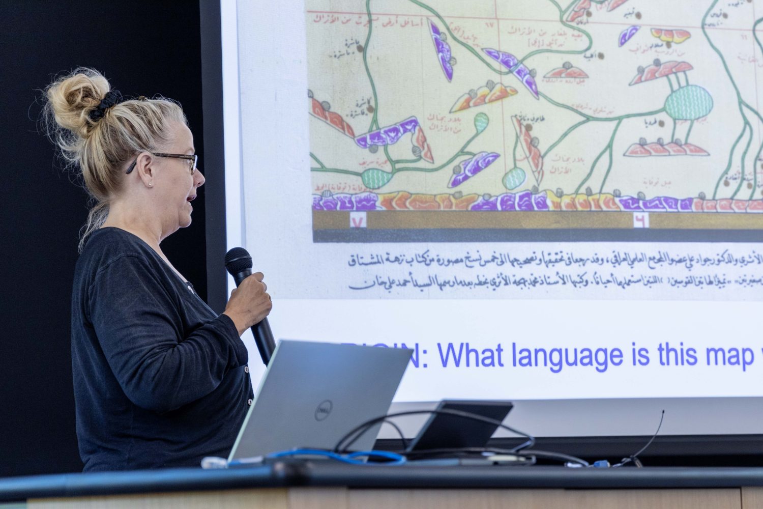
Using historical maps of St. Paul, local community gardens, indigenous maps about diplomacy and trade relations, world maps, and even hip hop history, Rise and Blyakher helped students think critically about maps and their origin, purpose, content, value, and limitations (OPC-VL).
Kari Rise, an IB Geography, human geography, and criminal justice teacher at Highland Park Senior High School, shares her project on map literacy, on Thursday. Aug. 17, 2023. (Photo/Adria Carpenter)
Blyakher, who has been a teacher for 11 years, made a project about European exploration using the John Speed maps — 17th century depictions of Europe, Asia, Africa, and the Americas — found in both the Map Library and the James Ford Bell Library.
Students examine the maps and discuss how Europeans perceived other places and cultures, considering questions like: Who made these maps? How? Why? When? Who were they made for? Is the geographic, historic, and cultural information accurate? What value do these maps have? What can we learn about exploration, the time period, and bias?
“It was a lot of fun. I learned a lot. I didn’t even know there was a Map Library before this,” Blyakher said. “So just knowing there’s resources, and people available to help with those resources, [is helpful] if I’m looking for something in the future.”
Elizabeth Blyakher, a Spanish immersion human geography and world history teacher at Highland Park Senior High School, presents her project on the John Speed maps, on Thursday. Aug. 17, 2023. (Photo/Adria Carpenter)
A sense of place
Dani Larson and Amy Weigel, both AP human geography and world studies teachers at Roseville Area High School, revamped two old, “clunky” projects: one about local neighborhoods, and another about food deserts.
The first project generates a sense of place using Census tract data — median age, household income, poverty, race and ethnicity, languages spoken at home, etc. — and interrogates how quantitative and qualitative data affect one another. This exercise exposes students to counter-narratives and which stories are missing from statistics.
Using that foundation, students then explore their own neighborhoods, take pictures, and tell the story of that place, its history, importance, and function. The results are compiled into an interactive map, where students can see each other’s work in relation to their own. This will give students a better understanding of their communities, Weigel said.
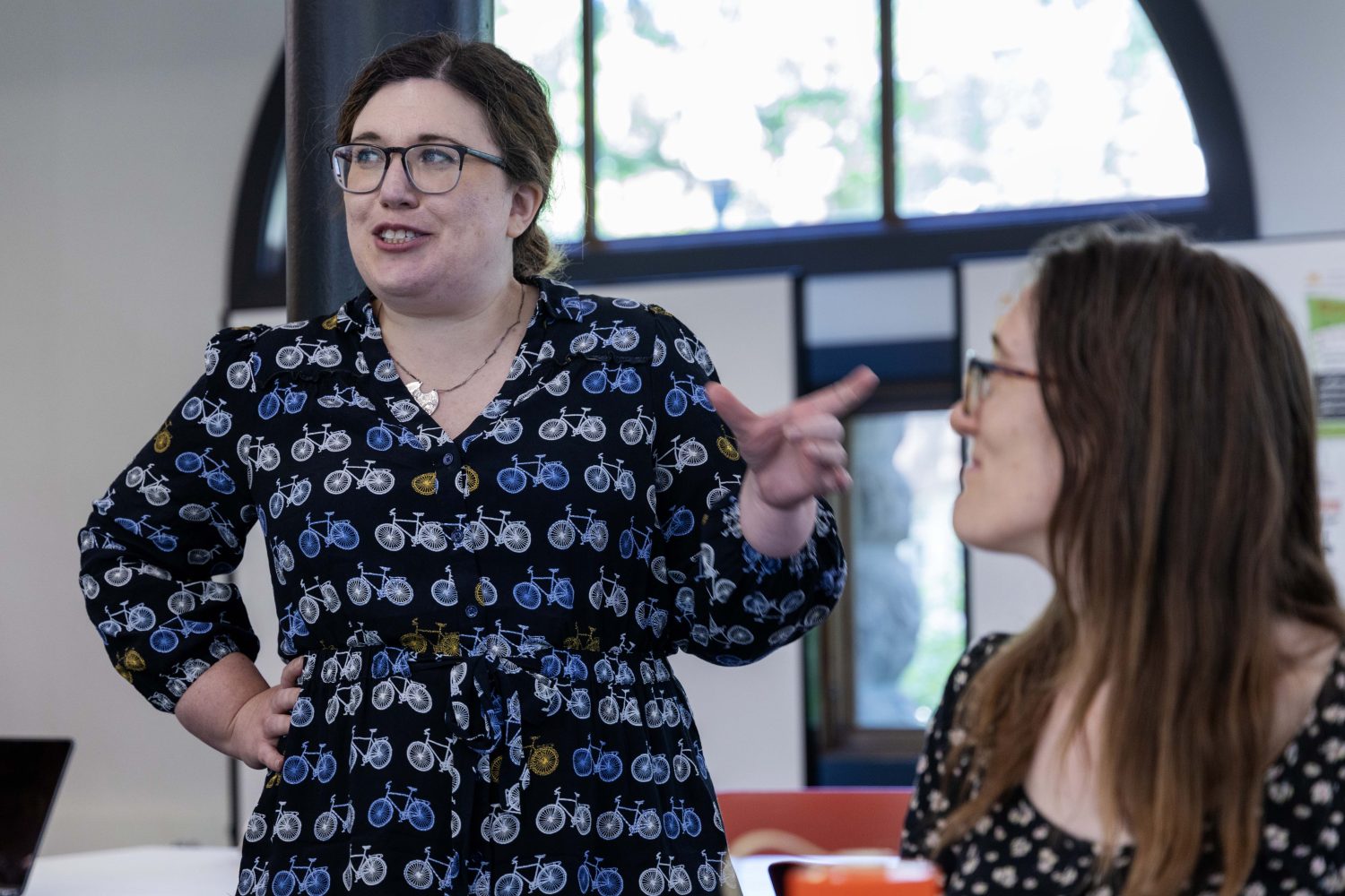
Amy Weigel talks with fellow educators and audience members, on Thursday. Aug. 17, 2023. (Photo/Adria Carpenter)
“ArcGIS was something we had used in the classroom, but it was hard to use,” she said. “But we were able to connect with experts that helped us design things that will be really accessible for students.”
For Weigel, who has been teaching for 22 years, that expertise was invaluable, but building relationships with other educators was even better.
“One of the most powerful things that’s come out of the fellowship is a closer connection with the University of Minnesota, the Map Library, the geography department, and just schools,” Weigel said.
Traversing the food desert
The second project was centered around food deserts and food apartheid, where they exist and why. In the activity, students determine the best location to place a grocery store in the Twin Cities, considering factors like poverty, transit lines, and current grocery store locations. Once students land on an area, they defend their choice and explain its pros and cons.
“When we connected to their place, really connected to home, I feel students, especially high school students, become so much more invested in actually learning. It feels more applicable than learning the geography of China,” said Larson, a teacher of eight years.
An audience member sorts through a puzzle map of St. Paul, on Thursday. Aug. 17, 2023. (Photo/Adria Carpenter)
Larson is an alum of the University of Minnesota, studying geography as an undergraduate, so returning to the Map Library was “really nostalgic.” Connecting with experts at the Map Library, like Mattke and Shana Crosson, Spatial Technologies Consultant at U-Spatial, helped them become more proficient in GIS.
“I really enjoyed it,” Larson said. “I just really appreciated the opportunity to be able to utilize the resources, but also the experts. Because I feel like a lot of the time, we as teachers just Google things and hope for the right answer.”
In October, the five teachers will present their projects at the Minnesota Alliance for Geography Education’s GEOFEST conference. With a successful pilot fellowship, Mattke hopes to see another round of fellows in the future.